Staring at a land listing and wondering what “easement access” or “ag‑exempt” really means? You are not alone. Buying acreage around Whitesboro can be simple when you know how to translate listing language into action steps. This guide walks you through key phrases, what to verify in Grayson County, and how to spot red flags or high‑value features fast. Let’s dive in.
Start with local context
Before you fall in love with photos, confirm where the parcel sits in relation to Whitesboro. Some properties are inside city limits and follow city zoning and setback rules. Many are in unincorporated Grayson County and follow county rules and any deed restrictions. This affects what you can build and how you connect utilities.
Next, identify which offices can confirm the basics. The Grayson County Appraisal District can help you verify parcel data, taxing entities, and any agricultural valuation status. The Grayson County Clerk keeps recorded deeds, plats, easements, and restrictions. For flooding, check FEMA flood maps. For septic rules, look to state and local permitting offices. For wells, check state or regional groundwater resources. For driveway permits, check TxDOT for state roads and the county for county roads.
What listing language means
Access and easements
If you see “deeded access,” “recorded ingress/egress easement,” or “access from FM/CR,” the listing is describing how vehicles reach the property. “No deeded access” can mean landlocked. This can be costly to fix. Ask for the recorded plat and easement documents, and have the title commitment confirm rights of access.
Shared road maintenance
“Shared access easement” and “maintain shared road” signal cost and responsibility for upkeep. Grading, culverts, and drainage add up. Request any road maintenance agreements or HOA documents that spell this out.
Water sources
“Public water at road,” “well on property,” or “no water” each carry different costs. A well needs yield and quality to be useful. A public line at the road might still require fees or line extensions. Ask for a well log and recent water quality tests. If public water is claimed, verify provider and connection or extension costs.
Septic and wastewater
“Septic approved,” “no septic permit,” or “requires OSSF” tell you if a permitted onsite system exists. Without a permit, you will need soils testing and a permit before building. Request septic permits and any recent inspection reports. If none exist, speak with the local permitting authority about feasibility and timelines.
Utilities and internet
“Electric at road” or “meter on property” sounds great, but distance to your building site matters. Long private runs or a transformer can add cost and time. Ask the specific provider for a written estimate. Check cellular coverage and available internet options during your tour.
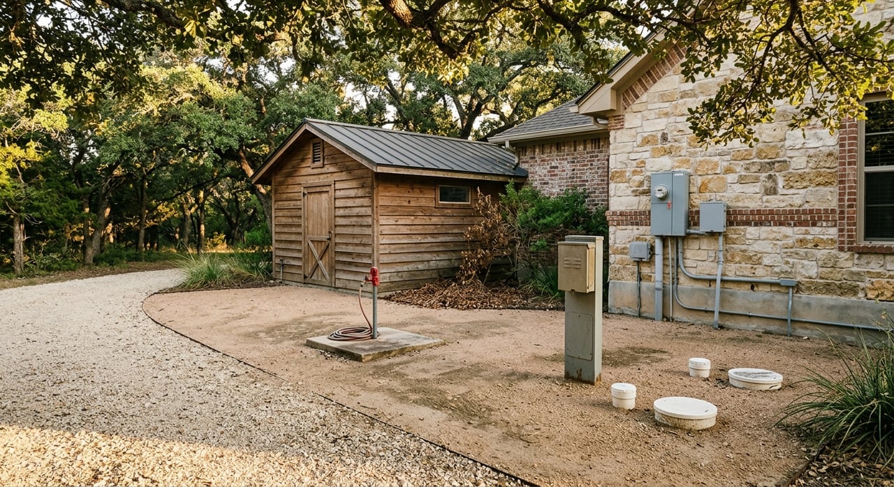
Fencing and boundaries
“Fenced,” “cross‑fenced,” or “perimeter barbed wire” describe livestock readiness. Fence condition and fence location matter. Fences do not always match the survey. Request the survey, confirm corners, and inspect fence condition on site.
Mineral rights
“Minerals convey,” “seller retains minerals,” or “surface rights only” are common in North Texas. Retained minerals can allow future subsurface activity that impacts surface use. Have the title commitment and deed language reviewed. Consider an attorney if minerals are important to you.
Easements and restrictions
“Utility easement,” “conservation easement,” “road easement,” or “deed restrictions” can limit building areas or uses. Ask for the recorded documents and read the title commitment schedule of exceptions so you know what is allowed.
Acreage vs usable acres
A listing might read “30 acres (20 usable).” Usable acreage excludes floodplain, steep slopes, or water bodies. Ask for topographic info, surveys, and any floodplain or wetlands delineation. Walk the property to see building sites and pasture potential.
Agricultural valuation status
“Ag‑exempt” or “agricultural valuation” refers to a property tax appraisal category. A change in use can trigger rollback taxes. Check the appraisal district records and ask what is required to maintain the valuation.
Photos versus reality
Aerials can hide wet areas or scale. “Approximate boundaries” are common. Always verify with a current survey and a site visit.
Whitesboro checkpoints
City versus county rules
Confirm if the parcel lies inside Whitesboro city limits or within the ETJ. City parcels follow municipal zoning and permitting. County parcels follow county rules and any recorded deed restrictions. Contact the City of Whitesboro for utility and permit questions.
Floodplain and wetlands
Use FEMA flood maps to check flood zones. Mapped floodplain can affect building placement and insurance costs. On site, look for low spots and seasonal drainage. If needed, order elevation or soils work to define buildable areas.
Roads and driveway permits
Identify whether your access is from a state highway, farm‑to‑market road, or county road. Some new driveways require permits. TxDOT handles state highways. The county handles county roads. Ask about any existing driveway permits or requirements.
Due‑diligence checklist
Request these documents
- Legal description and parcel number
- Current survey or recorded plat
- Title commitment and copies of easements and restrictions
- Well log and recent water quality and yield tests, if applicable
- Septic permit and any inspection reports, or soils test results
- Recent property tax bill and appraisal district record showing valuation status
- Any HOA or POA documents and road maintenance agreements
- Seller disclosures, plus notes on any boundary issues
Ask these questions
- Is there recorded, deeded access to a public road, and where is it recorded?
- Who maintains the access road, and what are typical annual costs?
- Is there a current survey with staked corners?
- Does the property have a permitted well and septic? Can you share logs and permits?
- Is public water at the road? What are the hookup or line‑extension costs?
- Which electric and internet providers serve the area, and where is the nearest service point?
- Do minerals convey? If not, what is reserved by prior owners?
- What easements or conservation restrictions exist? Please provide copies.
- Is any portion in FEMA floodplain or mapped wetlands?
- Is the property under agricultural valuation? Any rollback risk?
On‑tour inspection list
- Confirm boundary markers and whether fences align with the survey
- Locate wellhead, pump, electric meter, septic tank, and drainfield
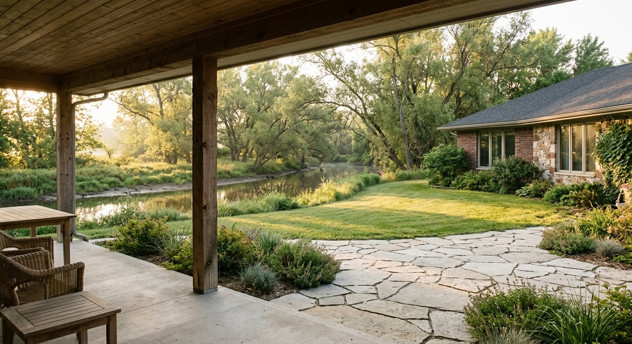
- Note ponds, creeks, and seasonal drainages and look for signs of saturation
- Inspect access road condition, gates, culverts, and low crossings
- Identify electric poles, any buried lines, and propane tanks
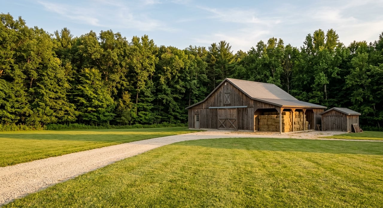
- Evaluate fence condition, cross‑fencing, barns, pens, and sheds
- Look for encroachments near boundaries
- Observe soil and topography: clay, rock, sandy loam, and drainage patterns
- Test cell reception and check internet availability on site
Bring in the right pros
- Surveyor for boundary accuracy
- Title attorney or land‑experienced title company for easements and minerals
- Civil or septic engineer for OSSF feasibility
- Well driller or hydrogeologist for water yield or quality questions
- Local real estate attorney for complex access or mineral issues
Red flags to pause on
- No deeded access or vague access language
- Seller retains minerals without clarity on surface protections
- Significant mapped floodplain without building guidance
- “Utilities nearby” with no provider details or cost estimates
- Private road with no written maintenance agreement
- No survey while fences do not match expected lines
- “As‑is” and no core documents like well logs, septic permits, or title exceptions
- Unpermitted structures or multiple dwellings without documentation
- Pipelines or high‑voltage transmission lines that reduce usable acreage
Strong value indicators
- Recorded, deeded access with clear maintenance terms
- Public water at the road with known low hookup cost, or a recent high‑yield, quality‑tested well
- Existing permitted septic and on‑site meters
- Good perimeter fencing, cross‑fencing, and usable barns or pens
- Flat to rolling ground with minimal floodplain and obvious build sites
- Agricultural valuation in place with a practical path to maintain
- Clear title, minimal easements, and minerals conveying
- Reliable driveway access and workable cell and internet service
Your next step
If you want land near Whitesboro that works for your lifestyle and budget, focus on access, water, wastewater, utilities, and usable acres first. Confirm the story with recorded documents and a careful site visit. When details do not line up, slow down and verify before you spend money on inspections.
You do not have to navigate this alone. For hands‑on guidance with surveys, utilities, fencing, barns, and practical build costs, reach out to Lauren McCambridge. Her blend of rural know‑how and construction experience helps you spot risks early and move forward with confidence.
FAQs
What does “no deeded access” mean in Whitesboro?
- It often means the parcel is landlocked without a recorded legal right to cross a neighbor’s land. Get a title commitment and recorded documents before proceeding.
How do I verify a claimed ag‑exempt status?
- Check the Grayson County Appraisal District record for agricultural valuation. Ask the seller for recent tax bills and confirm requirements to maintain the valuation.
Is public water available to rural parcels near Whitesboro?
- Sometimes. Confirm with the city or local provider whether a line is at the road, plus hookup and potential line‑extension costs if the parcel is not connected.
What septic steps should I expect on raw land?
- If there is no permitted system, plan for soils testing and an onsite sewage facility permit through the local permitting authority before you build.
How can I tell how much acreage is usable?
- Combine a current survey with topographic info, floodplain maps, and a site walk. Exclude floodplain, steep slopes, and water bodies from your “usable” estimate.
Do mineral rights usually convey in Grayson County?
- It depends on the chain of title. Review the title commitment and deed language, and consult an attorney if minerals or surface protections are important to you.